Fort Le Boeuf (Waterford, Pennsylvania)
Waterford · Pennsylvania · French and Indian War
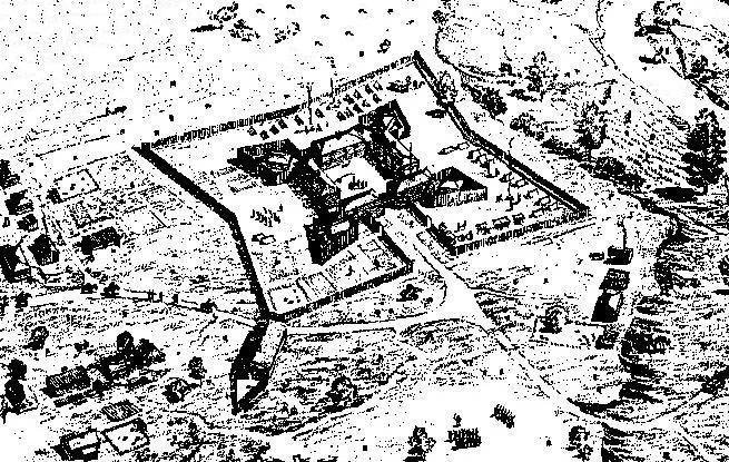
History & Significance
Construction began July 11, 1753 by Captain Francois Le Mercier, with Jacques Legardeur de Saint-Pierre taking command on December 3 after Mercier's death. The fort guarded the southern end of the portage road known as the Venango Path between Lake Erie and French Creek, which flowed to the Allegheny River and ultimately to the River Ohio.
The French portaged supplies and trade goods from Lake Erie overland to the fort, then traveled by raft and canoe down French Creek to the Allegheny, Ohio and Mississippi rivers. This fort was the second of a series of posts built between spring 1753 and summer 1754 to assert French possession of the Ohio Country, connecting Canada with Illinois Country and Louisiana.
It served as a French trading post and garrison until 1759, when the capture of Fort Niagara forced the French to abandon the Ohio Country. During August 1759, the French abandoned their positions and burned the fort to make it unavailable to the British.
On 18 June 1763, Native Americans burned the fort during Pontiac's Rebellion, and the survivors escaped to Fort Venango, then to Fort Pitt. Today, the Fort LeBoeuf Museum operates on the site, managed by the Fort LeBoeuf Historical Society.
Key Facts
Map
View larger map ↗ · © OpenStreetMap contributors
🧳 Visiting
What you’ll see when you visit:
- French and Indian War–era military outpost on French Creek
- Museum exhibits documenting French garrison, trade, and British occupation
- Historic strategic position linking Great Lakes to Ohio River valley
- Reconstructed fort structures and period artifacts
- Setting in northwestern Pennsylvania's creek-valley landscape
Sources
- https://en.wikipedia.org/wiki/Fort_Le_Boeuf
- https://fortleboeufhistory.com/campus/fort-le-boeuf-forts/
- https://fortleboeufhistory.com/
- https://explorepahistory.com/hmarker.php?markerId=1-A-83.html
- https://www.forttours.com/pages/fortleboeuf.asp
- https://heinzhistorycenter.org/blog/fort-pitt-museum-constructing-the-french-forts-of-the-ohio-country/
- https://hmdb.org/m.asp?m=31978
Other Forts in Pennsylvania
See all forts in Pennsylvania →